
Belvoire Bay
- Shelter
- NW, W, SW, S
- Seabed
- sand
- Anchoring
- Allowed
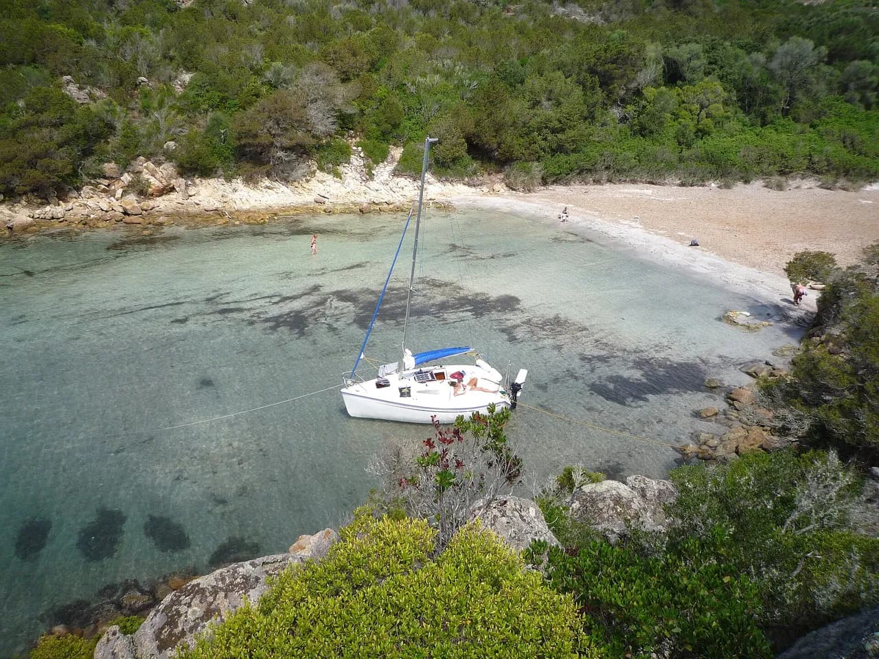
Sandy bay on the east coast of Herm in the Channel Islands, sheltered from NW to south.
- Beach
Guide
Approach and anchoring
Anchoring inside the line between La Moulière and Caquorobert rocks keeps boats out of the stream and cuts the roll. In 2025 a boat drawing 2 m lay midway on that line in 1.2 m charted depth, with 4 m at low water springs. Holding in sand is good. In 2026 an anchor dragged twice, fouled with kelp, in about 10 m at high water. The hill blocks westerly winds, but swell still enters. A shift to the north made the bay uncomfortable in 2025.
Practical
Dinghies land easily on the beach, and a café stands close by. No freshwater tap was found there in 2025. Showers were a 15-minute walk away towards the harbour in 2025. Local boats use the bay, and in 2023 spots went early. Drying out on the beach was not allowed in 2024.
Ashore
The whole island can be walked in a day.
Key facts
- Type
- Anchorage
- Coordinates
- 49.47361, -2.44164 (49°28.42'N 2°26.50'W)
- Country
- Guernsey
- Shelter
- Sheltered from north-west, west, south-west, south winds
- Seabed
- sand
- Anchoring
- Allowed
- Services
- Beach
- Boaters' rating
- 3.9/5
- Last updated
- November 6, 2026
Getting there
Belvoire Bay lies at 49°28.42'N 2°26.50'W, that is 49.47361, -2.44164 in decimal degrees.
Boaters' reviews
No reviews yet. Be the first to share your experience of Belvoire Bay.
Write a reviewFrequently asked questions
Which winds is Belvoire Bay sheltered from?
Belvoire Bay is sheltered from north-west, west, south-west, south winds.
Can you anchor at Belvoire Bay?
Yes, anchoring is allowed at Belvoire Bay.
How do boaters rate Belvoire Bay?
Belvoire Bay is rated 3.9/5 by boaters on BoatMap.
Nearby



Explore the region
Nearby cities
L'app de navigation bateau, gratuite
Cartes marines officielles, météo marine, GPS et 50 000+ ports et mouillages avec avis. Tout en une seule app, prête à embarquer.



