
- Shelter
- NW, N, NE, E, SE
- Seabed
- sand, algae
- Anchoring
- Allowed
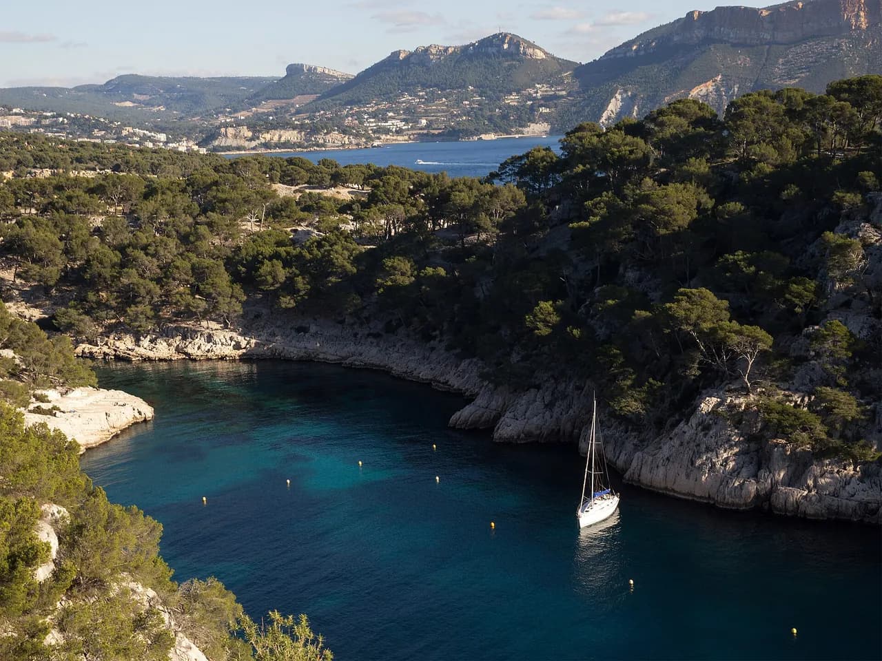
Narrow inlet on the south-west coast of Corsica, just west of Tizzano, between Punta di Campomoro and Capu di Senetosa.
- Beach
- Seagrass
Guide
Approach and anchoring
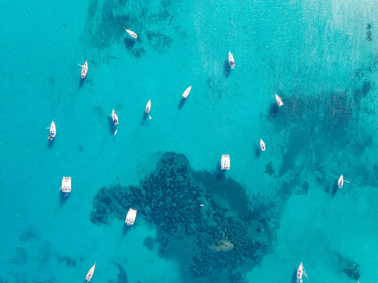
Approach from the south-west by daylight. The cala is narrow, so drop the anchor on a sand patch and run a line ashore to the rocks; a shallow draught can work well in, down to about 1,5 to 2 m near the head, though there is no need to go far and the wide entrance makes leaving easy when rental boats crowd it. Sheltered from NW round to SE, fully open to S and SW, and the wind swirls inside. Keep off the rocks either side; on leaving, stand out about 300 m before turning as a shoal lies off the entrance, and a submerged rock lies 50 to 70 m offshore between the cala and the Anse de Tivella.
Ashore
Shoreline of pink granite boulders typical of the Sartenais. Tizzano village, with a small harbour, a few restaurants and a grocery, lies about 1,7 nm east. No road reaches the cala; the GR coastal path runs from the head of the cove to the Senetosa lighthouse, a 19th century twin-tower station 4 km west that now also serves as a gite with a small museum on a local shipwreck.
Key facts
- Type
- Anchorage
- Coordinates
- 41.55331, 8.81489 (41°33.20'N 8°48.89'E)
- Country
- France
- Shelter
- Sheltered from north-west, north, north-east, east, south-east winds
- Seabed
- sand, algae
- Anchoring
- Allowed
- Services
- Beach, Seagrass
- Boaters' rating
- 4.6/5
- Last updated
- October 15, 2026
Getting there
Cala Longa lies at 41°33.20'N 8°48.89'E, that is 41.55331, 8.81489 in decimal degrees.
Boaters' reviews
No reviews yet. Be the first to share your experience of Cala Longa.
Write a reviewFrequently asked questions
Which winds is Cala Longa sheltered from?
Cala Longa is sheltered from north-west, north, north-east, east, south-east winds.
Can you anchor at Cala Longa?
Yes, anchoring is allowed at Cala Longa.
How do boaters rate Cala Longa?
Cala Longa is rated 4.6/5 by boaters on BoatMap.




Explore the region
- France
- Corsica
- Opal Coast and Bay of Somme
- North Brittany
- South Brittany
- Normandy
- Atlantic coast
- Languedoc-Roussillon
- Provence and Côte d'Azur
- French West Indies
- Seine and Paris
- Burgundy and the Saône
- Canal du Midi
- Alsace and Lorraine
- Lake Geneva, French shore
- Lakes Annecy and Bourget
Nearby cities
L'app de navigation bateau, gratuite
Cartes marines officielles, météo marine, GPS et 50 000+ ports et mouillages avec avis. Tout en une seule app, prête à embarquer.



