
- Shelter
- N, NE, E, NW
- Seabed
- sand
- Anchoring
- Allowed
Sand-bottomed cove near Tizzano on the Sartenais coast of south-west Corsica.
- Beach
Guide
Approach and anchoring
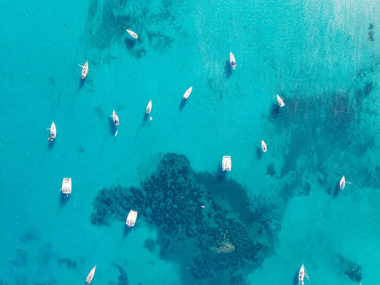
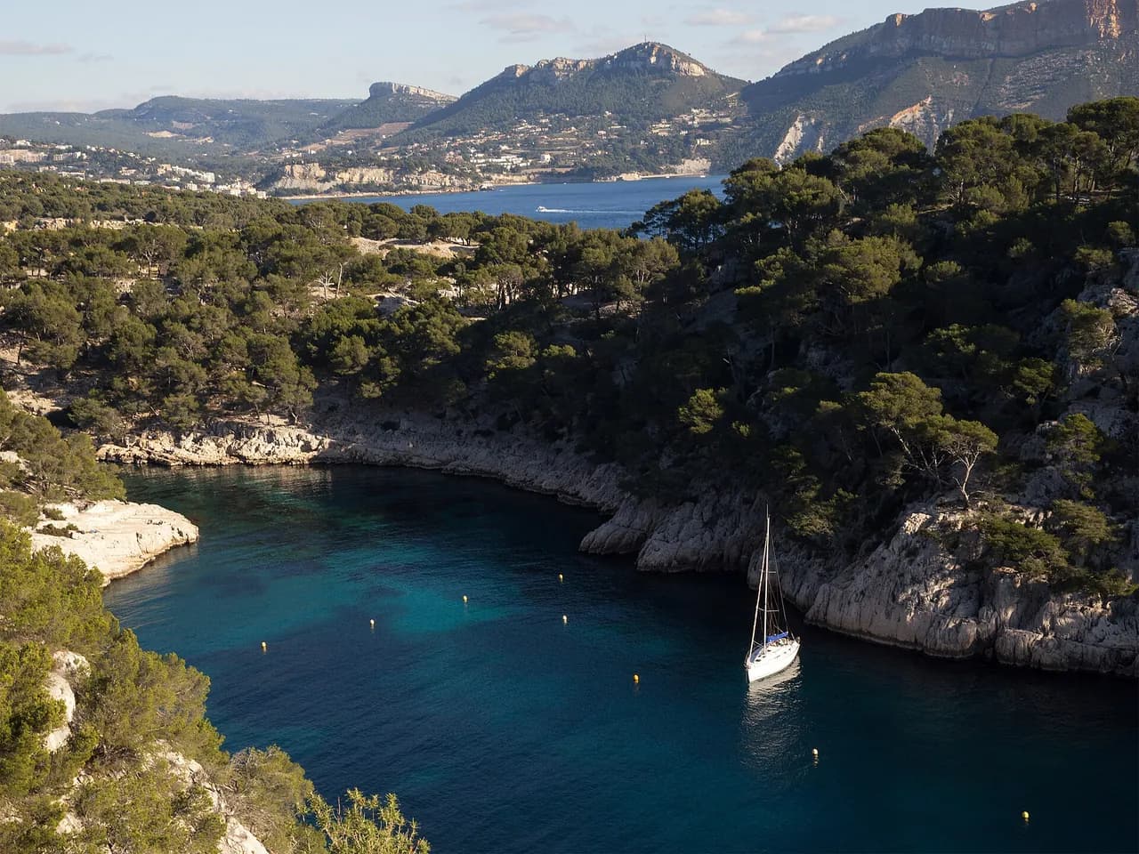
Approach from the south. Anchor on sand in 3 to 7 metres. An unmarked rock lies close to the surface about 50 to 70 metres off the shore between Cala Longa and the cove, not shown on all charts, so keep well off on the way in. The creek is narrow, and a stern anchor helps hold clear of the rocks overnight. A mooring buoy near the beach is reserved for tour boats. Shelter from N, NE, E and NW, exposed to the libeccio from the SW and to any south swell. Tizzano lies 2 nm SE as the nearest refuge, Propriano 8.4 nm NE.
Ashore
Granite headlands with low maquis around the cove. The shore belongs to the Natura 2000 coastal strip of the Sartenais. The coastal footpath between Campomoro and Tizzano runs along the clifftop above the anchorage, reaching Cala Longa in about 15 minutes and the Senetosa lighthouse in about 30 minutes through the maquis.
Key facts
- Type
- Anchorage
- Coordinates
- 41.55576, 8.80914 (41°33.35'N 8°48.55'E)
- Country
- France
- Shelter
- Sheltered from north, north-east, east, north-west winds
- Seabed
- sand
- Anchoring
- Allowed
- Services
- Beach
- Boaters' rating
- 4.0/5
- Last updated
- October 15, 2026
Getting there
Anse de Tivella lies at 41°33.35'N 8°48.55'E, that is 41.55576, 8.80914 in decimal degrees.
Boaters' reviews
No reviews yet. Be the first to share your experience of Anse de Tivella.
Write a reviewFrequently asked questions
Which winds is Anse de Tivella sheltered from?
Anse de Tivella is sheltered from north, north-east, east, north-west winds.
Can you anchor at Anse de Tivella?
Yes, anchoring is allowed at Anse de Tivella.
How do boaters rate Anse de Tivella?
Anse de Tivella is rated 4.0/5 by boaters on BoatMap.



Explore the region
- France
- Corsica
- Opal Coast and Bay of Somme
- North Brittany
- South Brittany
- Normandy
- Atlantic coast
- Languedoc-Roussillon
- Provence and Côte d'Azur
- French West Indies
- Seine and Paris
- Burgundy and the Saône
- Canal du Midi
- Alsace and Lorraine
- Lake Geneva, French shore
- Lakes Annecy and Bourget
Nearby cities
The free boat navigation app
Official nautical charts, marine weather, GPS and 50,000+ marinas and anchorages with reviews. All in one app, ready to sail.



