
- Shelter
- N, SW, W, NW
- Seabed
- sand
- Anchoring
- Allowed
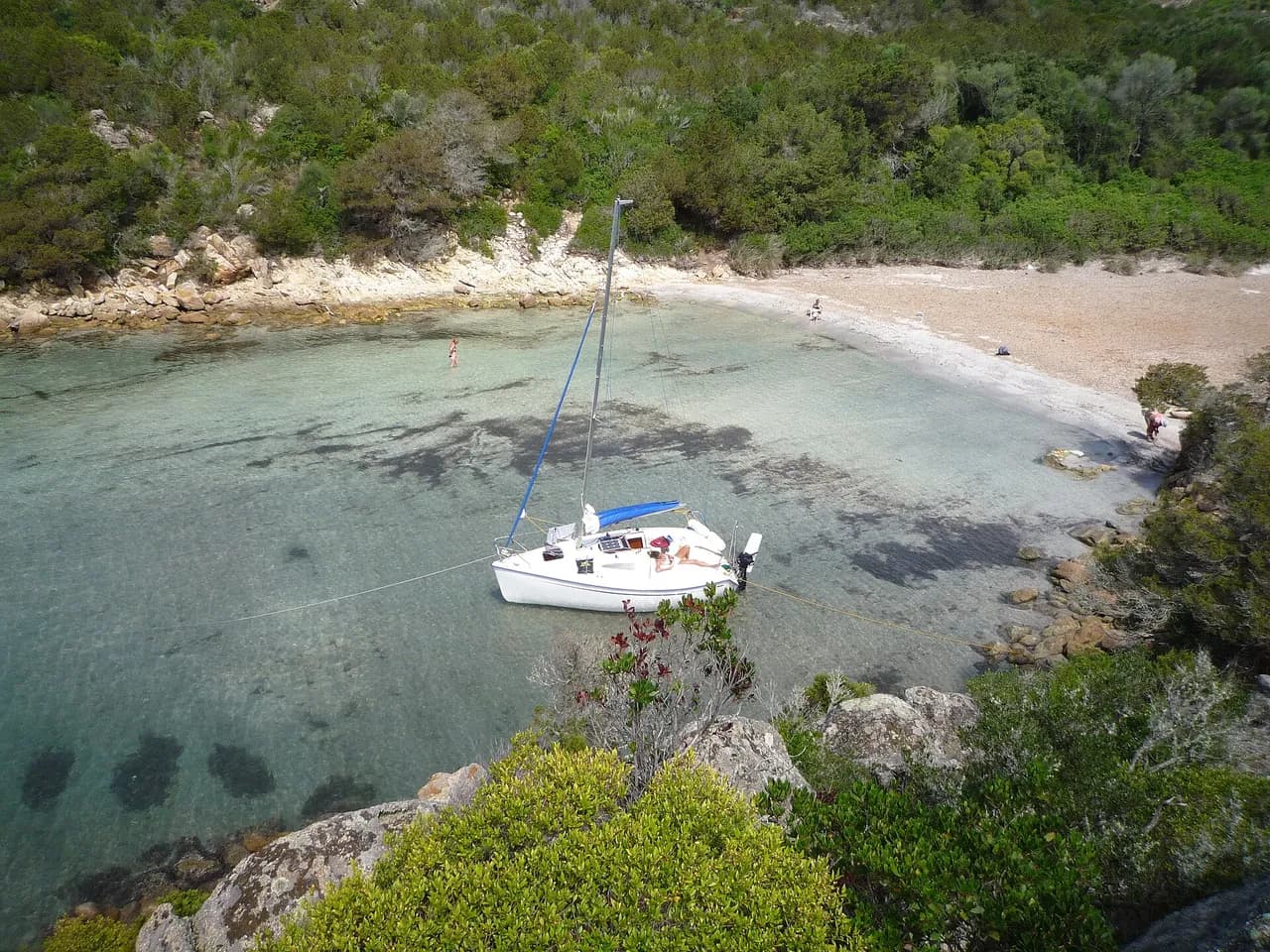
Sandy bay north of Macinaggio, on the edge of the Îles Finocchiarola nature reserve. Popular daytime anchorage along the Sentier des douaniers.
- Beach
Guide
Approach and anchoring
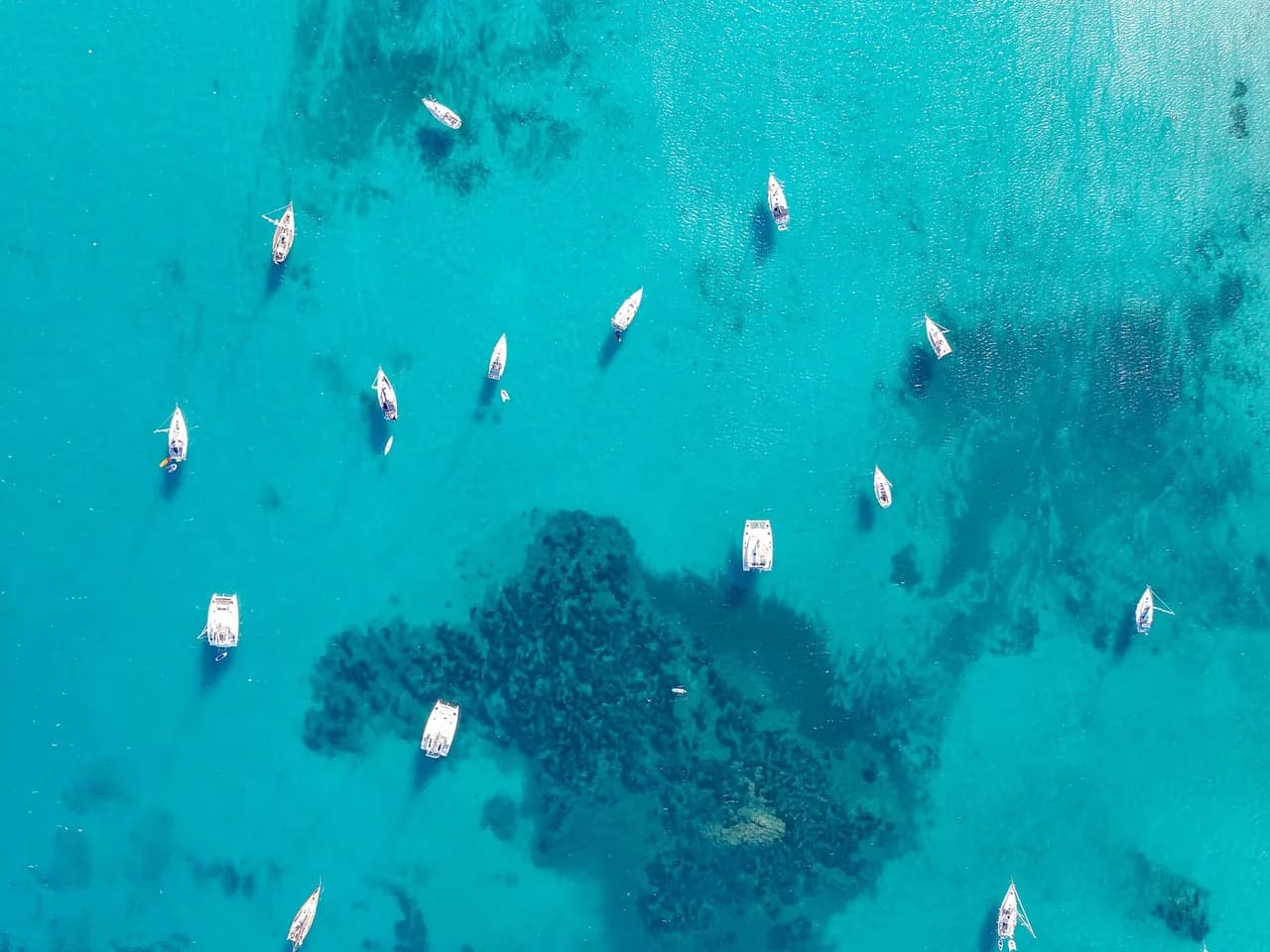
Approach from the E keeping south of the Finocchiarola islets, a bird reserve with landing restrictions from March to August. Anchor on the clear sand between the Posidonia patches, in 3 to 7 m, good holding. Sheltered from W and NW, exposed to the E and to the libeccio swell that wraps round Cap Corse; passing boats add some roll by day.
Ashore
The beachside paillote U Paradisu serves food and drink with a wood-fired oven and early-evening live music; land the tender by the oven at the right-hand end of the beach. From the sand the Sentier des douaniers runs north to Barcaggio past the Tour de Santa Maria. Macinaggio and its shops lie 0.9 NM S. Jellyfish can be about in high summer.
Key facts
- Type
- Anchorage
- Coordinates
- 42.97423, 9.45671 (42°58.45'N 9°27.40'E)
- Country
- France
- Shelter
- Sheltered from north, south-west, west, north-west winds
- Seabed
- sand
- Anchoring
- Allowed
- Services
- Beach
- Boaters' rating
- 4.0/5
- Last updated
- October 15, 2026
Getting there
Baie de Tamarone lies at 42°58.45'N 9°27.40'E, that is 42.97423, 9.45671 in decimal degrees.
Boaters' reviews
No reviews yet. Be the first to share your experience of Baie de Tamarone.
Write a reviewFrequently asked questions
Which winds is Baie de Tamarone sheltered from?
Baie de Tamarone is sheltered from north, south-west, west, north-west winds.
Can you anchor at Baie de Tamarone?
Yes, anchoring is allowed at Baie de Tamarone.
How do boaters rate Baie de Tamarone?
Baie de Tamarone is rated 4.0/5 by boaters on BoatMap.



Explore the region
- France
- Corsica
- Opal Coast and Bay of Somme
- North Brittany
- South Brittany
- Normandy
- Atlantic coast
- Languedoc-Roussillon
- Provence and Côte d'Azur
- French West Indies
- Seine and Paris
- Burgundy and the Saône
- Canal du Midi
- Alsace and Lorraine
- Lake Geneva, French shore
- Lakes Annecy and Bourget
Nearby cities
L'app de navigation bateau, gratuite
Cartes marines officielles, météo marine, GPS et 50 000+ ports et mouillages avec avis. Tout en une seule app, prête à embarquer.



