
- Shelter
- NW, N
- Seabed
- sand
- Anchoring
- Allowed
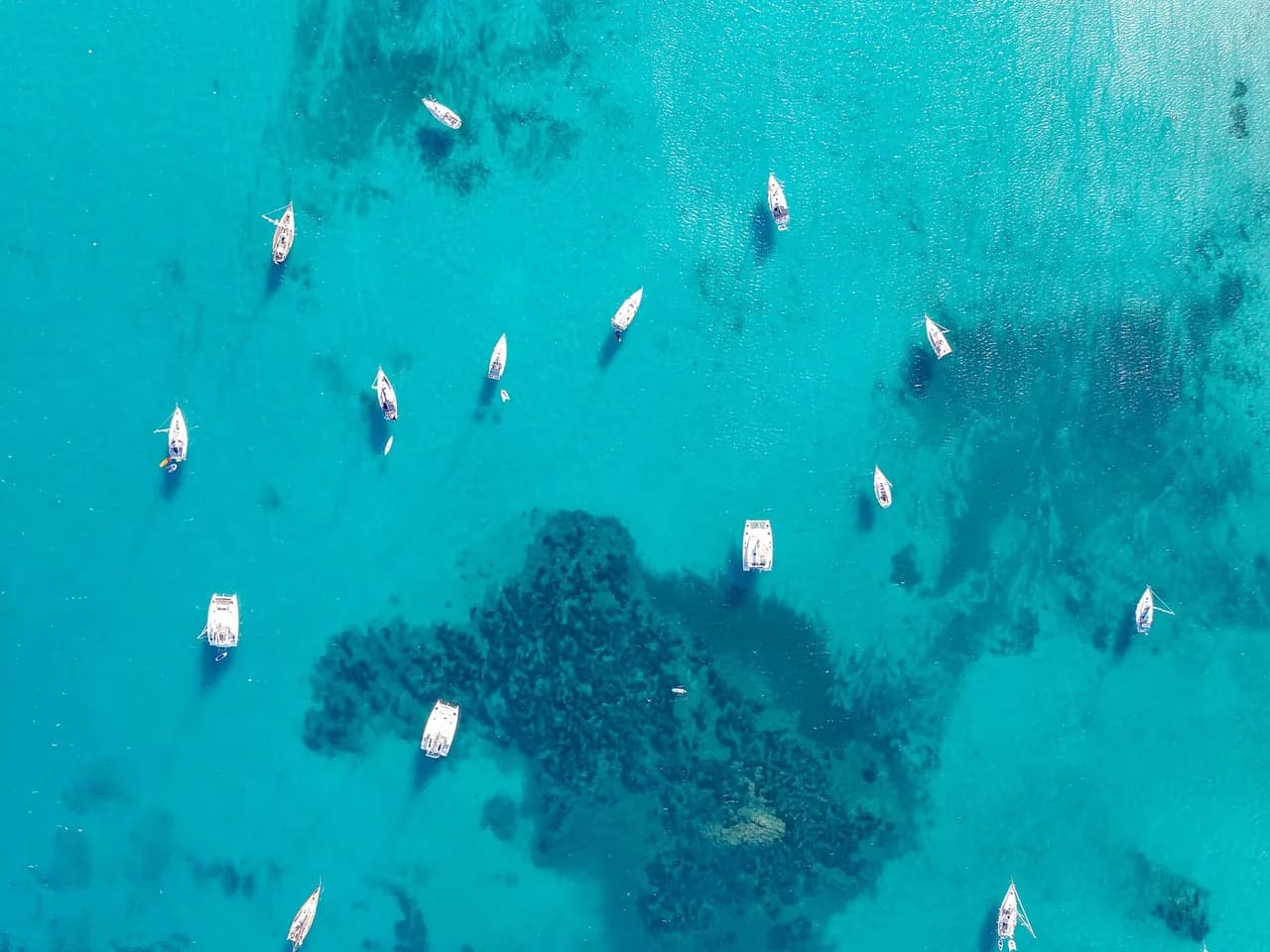
Anchorage south of Île Molène in the Mer d'Iroise, west of Le Conquet, within the Parc naturel marin d'Iroise.
Guide
Approach and anchoring
Sand bottom, good holding. Anchoring may now be restricted here within the Parc naturel marin d'Iroise, so check the current rules before bringing up. Shelter from NW to NE, open south and exposed to strong tidal streams of the Chenal de la Helle and Fromveur which run up to 8 knots at springs. Time the approach near slack water. Watch the Men-Tensel and Pierres Vertes rocks on approach from the east.
Ashore
Landing by tender on the island's south slip. Bourg de Molène 500 m from the slip with bakery, grocer and two bars. Musée du Drummond Castle recalls the 1896 wreck off the island.
History
Molène has been inhabited since the Iron Age and became a parish of Ouessant before gaining its own commune in 1870. The island's lifeboat station has played a role in many rescues along this stretch of the Iroise.
Key facts
- Type
- Anchorage
- Coordinates
- 48.39456, -4.94636 (48°23.67'N 4°56.78'W)
- Country
- France
- Shelter
- Sheltered from north-west, north winds
- Seabed
- sand
- Anchoring
- Allowed
- Boaters' rating
- 3.7/5
- Last updated
- October 15, 2026
Getting there
Sud Molene lies at 48°23.67'N 4°56.78'W, that is 48.39456, -4.94636 in decimal degrees.
Boaters' reviews
No reviews yet. Be the first to share your experience of Sud Molene.
Write a reviewFrequently asked questions
Which winds is Sud Molene sheltered from?
Sud Molene is sheltered from north-west, north winds.
Can you anchor at Sud Molene?
Yes, anchoring is allowed at Sud Molene.
How do boaters rate Sud Molene?
Sud Molene is rated 3.7/5 by boaters on BoatMap.



Explore the region
Nearby cities
L'app de navigation bateau, gratuite
Cartes marines officielles, météo marine, GPS et 50 000+ ports et mouillages avec avis. Tout en une seule app, prête à embarquer.



