
- Shelter
- NW, N, NE
- Seabed
- sand
- Anchoring
- Allowed
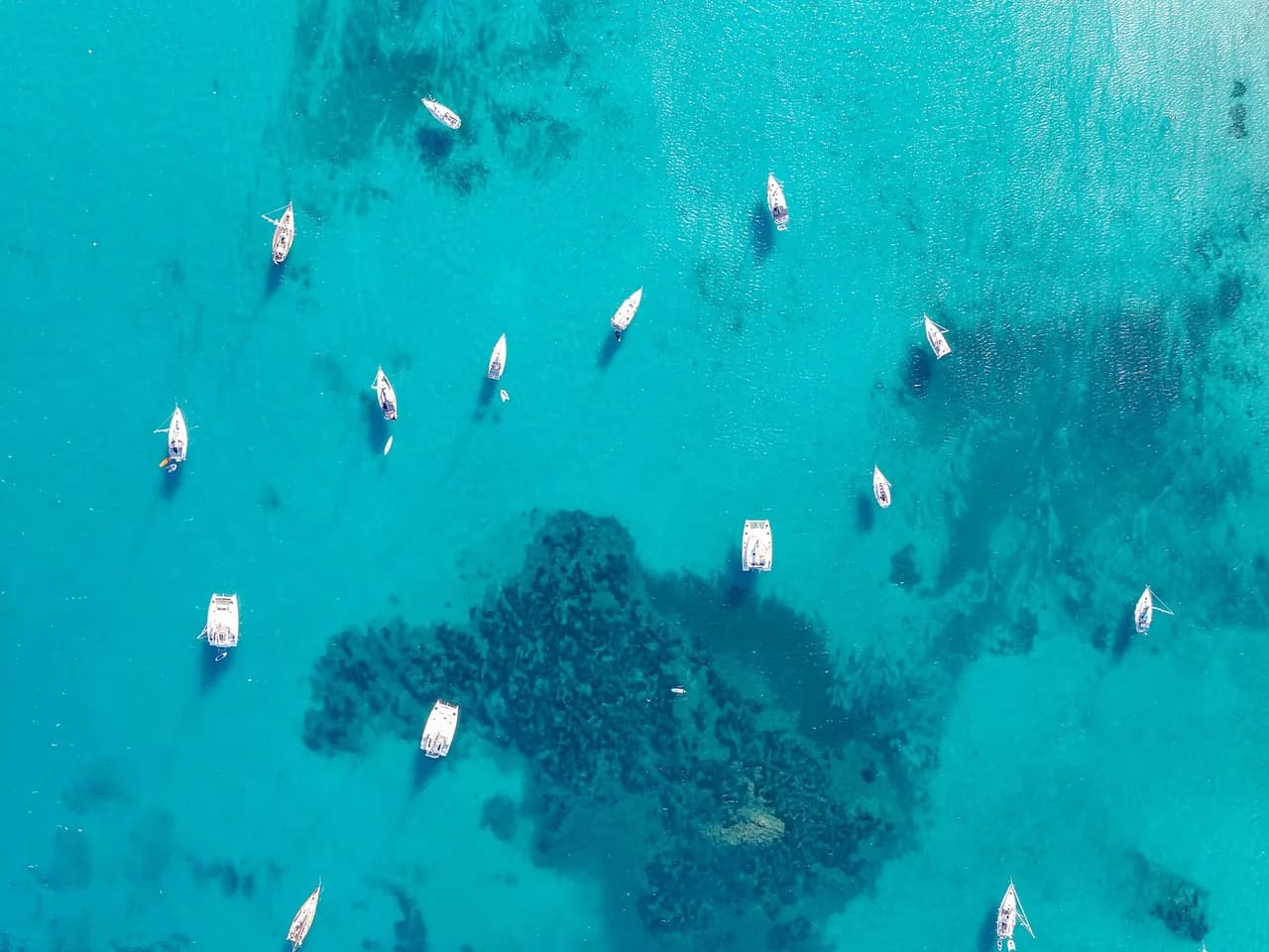
Anchorage south of Quéménès in the Molène archipelago, west of Le Conquet, within the Parc naturel marin d'Iroise.
Guide
Approach and anchoring
Sand bottom, good holding in 3 to 6 m. Shelter from NW through N to NE, open south. Strong tidal streams in the surrounding channels, up to 6 to 8 knots at springs. Approach near slack water and stay clear of the drying rocks north and west of the island.
Ashore
Quéménès is a 26 ha island run as an off-grid organic farm since 2007 by a resident family under a Conservatoire du Littoral lease. Guided farm visits and a guesthouse by prior arrangement. There are no shops, though the farm sells potatoes, garlic and shallots in season. Parts of the island are closed to visitors at times to protect nesting birds. The rest of the time, the island can be walked round.
Key facts
- Type
- Anchorage
- Coordinates
- 48.37098, -4.90123 (48°22.26'N 4°54.07'W)
- Country
- France
- Shelter
- Sheltered from north-west, north, north-east winds
- Seabed
- sand
- Anchoring
- Allowed
- Boaters' rating
- 5.0/5
- Last updated
- October 15, 2026
Getting there
Sud Île De Quemenes lies at 48°22.26'N 4°54.07'W, that is 48.37098, -4.90123 in decimal degrees.
Boaters' reviews
No reviews yet. Be the first to share your experience of Sud Île De Quemenes.
Write a reviewFrequently asked questions
Which winds is Sud Île De Quemenes sheltered from?
Sud Île De Quemenes is sheltered from north-west, north, north-east winds.
Can you anchor at Sud Île De Quemenes?
Yes, anchoring is allowed at Sud Île De Quemenes.
How do boaters rate Sud Île De Quemenes?
Sud Île De Quemenes is rated 5.0/5 by boaters on BoatMap.




Explore the region
Nearby cities
L'app de navigation bateau, gratuite
Cartes marines officielles, météo marine, GPS et 50 000+ ports et mouillages avec avis. Tout en une seule app, prête à embarquer.



