
- Shelter
- W, SW, S, SE
- Seabed
- sand
- Anchoring
- Forbidden
Anchoring prohibited zone off the eastern beach of L'Île-Rousse, Balagne coast, Haute-Corse.
- Beach
Guide
Approach and anchoring
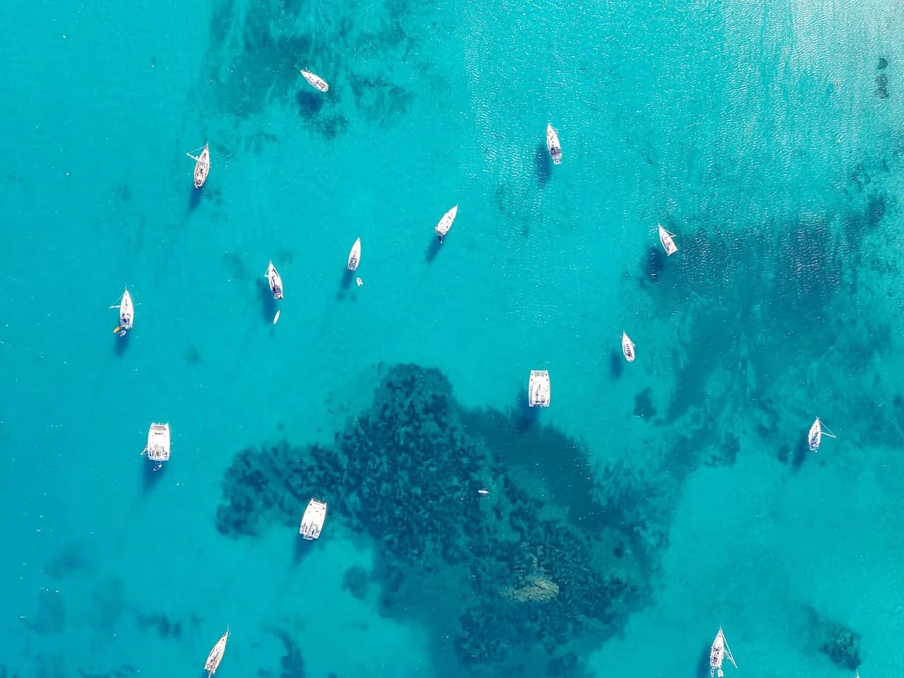
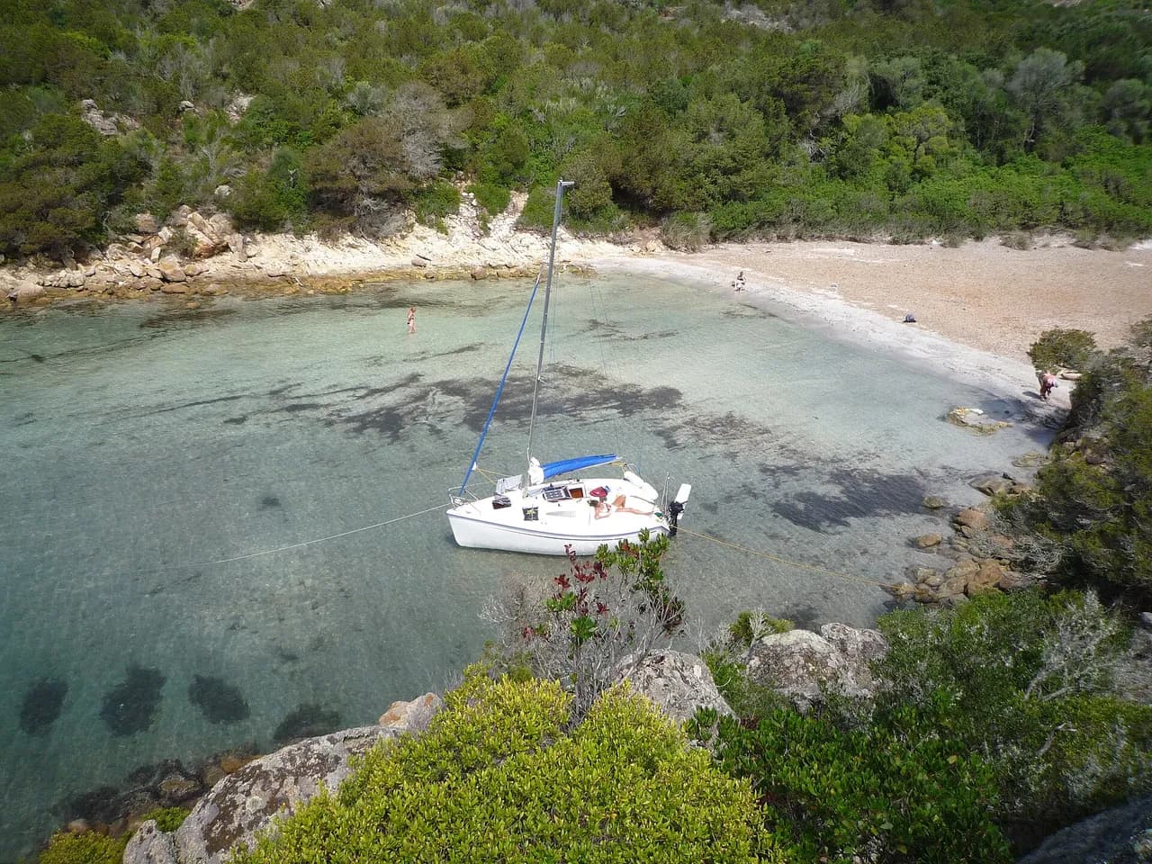
Anchoring is regulated here to protect the swimming area and the posidonia, and a harbour patrol may move boats on. The sand lies inside the line of yellow buoys, with seagrass and rock outside, so boats in practice anchor on the sand inside the buoys in about 5 to 8 m when the moorings and harbour are full, enforcement being light at the eastern end away from the swimmers. Keep clear of the ferry turning circle to the west. It is a long dinghy ride to town, landing on the stone wall to the west or in the harbour 0.6 NM NW. Exposed from W round to SE.
Ashore
Restaurants line the beach behind the anchorage. L'Île-Rousse old town with its covered market on place Paoli lies 0.6 NM NW, with small supermarkets in town and a large Leclerc on the outskirts. Train stop of the Chemins de Fer de Corse on the seafront, direct line to Calvi and Bastia. Île de la Pietra lighthouse and granite headland 1 km north of the harbour.
Key facts
- Type
- Anchorage
- Coordinates
- 42.63512, 8.94881 (42°38.11'N 8°56.93'E)
- Country
- France
- Shelter
- Sheltered from west, south-west, south, south-east winds
- Seabed
- sand
- Anchoring
- Forbidden
- Services
- Beach
- Boaters' rating
- 3.3/5
- Last updated
- October 15, 2026
Getting there
Plage de L'Île-Rouse (East) lies at 42°38.11'N 8°56.93'E, that is 42.63512, 8.94881 in decimal degrees.
Boaters' reviews
No reviews yet. Be the first to share your experience of Plage de L'Île-Rouse (East).
Write a reviewFrequently asked questions
Which winds is Plage de L'Île-Rouse (East) sheltered from?
Plage de L'Île-Rouse (East) is sheltered from west, south-west, south, south-east winds.
Can you anchor at Plage de L'Île-Rouse (East)?
No, anchoring is forbidden at Plage de L'Île-Rouse (East).
How do boaters rate Plage de L'Île-Rouse (East)?
Plage de L'Île-Rouse (East) is rated 3.3/5 by boaters on BoatMap.



Explore the region
- France
- Corsica
- Opal Coast and Bay of Somme
- North Brittany
- South Brittany
- Normandy
- Atlantic coast
- Languedoc-Roussillon
- Provence and Côte d'Azur
- French West Indies
- Seine and Paris
- Burgundy and the Saône
- Canal du Midi
- Alsace and Lorraine
- Lake Geneva, French shore
- Lakes Annecy and Bourget
Nearby cities
L'app de navigation bateau, gratuite
Cartes marines officielles, météo marine, GPS et 50 000+ ports et mouillages avec avis. Tout en une seule app, prête à embarquer.



