
- Shelter
- E, SW, S, SE
- Seabed
- sand
- Anchoring
- Forbidden
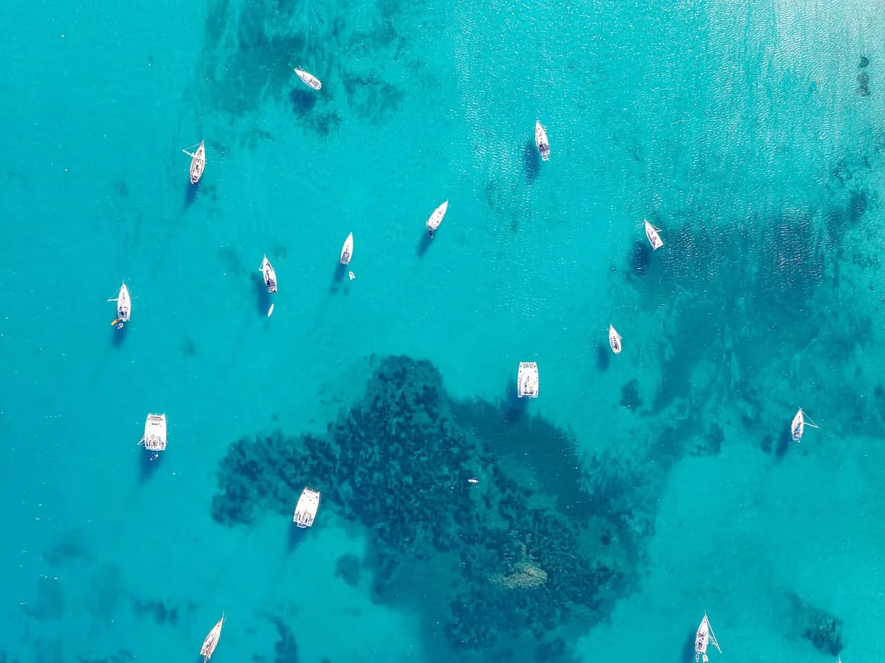
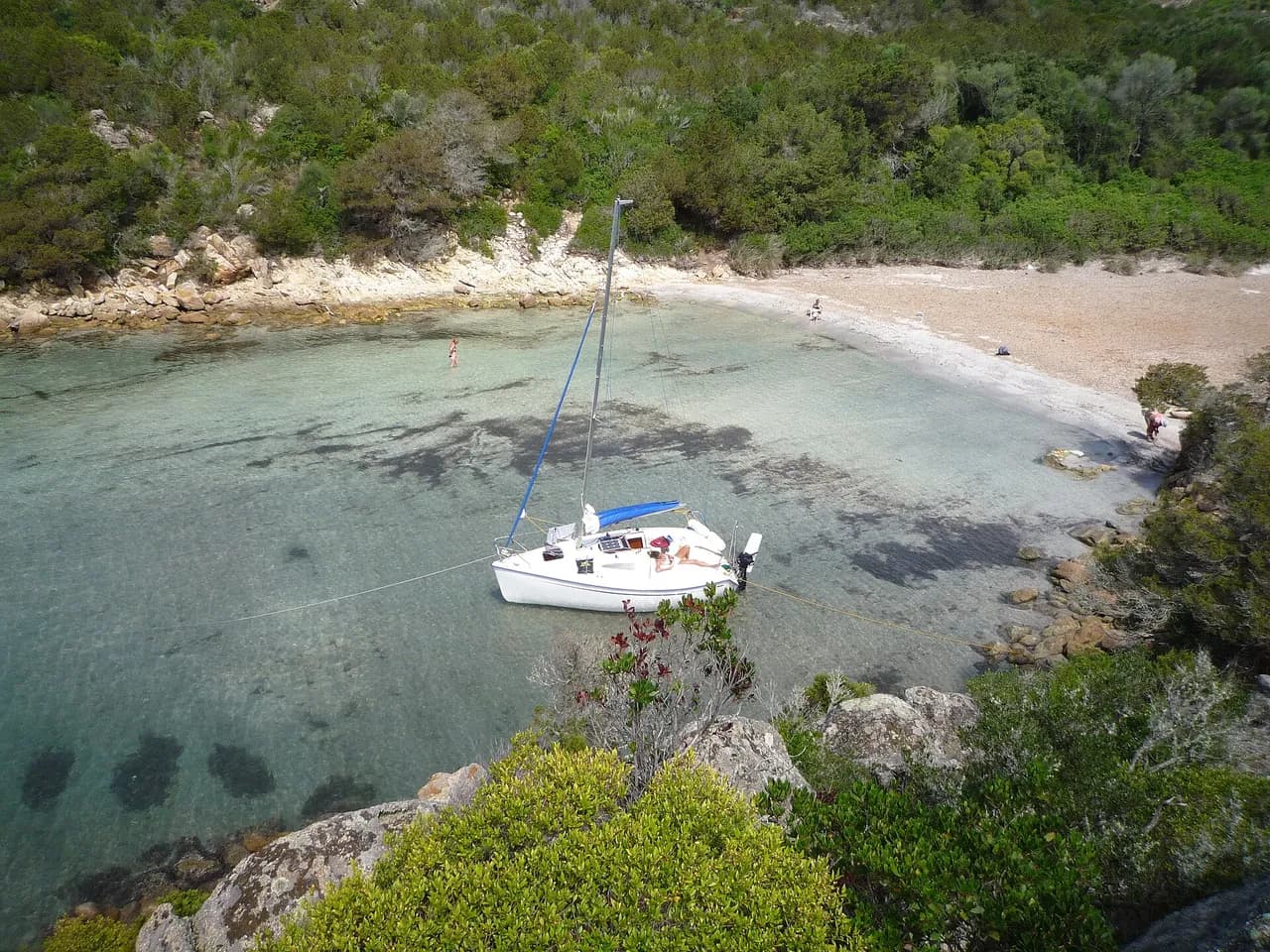
Small sandy cove east of L'Île-Rousse on the Balagne coast of Corsica. Anchoring is prohibited on the posidonia meadow.
Guide
Approach and anchoring
Anchoring ban on the seagrass bed, signalled by yellow marker buoys laid each season by the DDTM; by September these are lifted and the sand is open to anchor on. Scattered rocks lie in the sand around 4 to 5 m, so keep a lookout when dropping, and some swell rolls in depending on the wind. L'Île-Rousse harbour is 1.3 nm to the west.
Ashore
Sand beach backed by the Balagne hills. L'Île-Rousse, 1.3 nm west, has a daily covered market on place Paoli built in 1850 and rail links to Calvi by the Chemins de fer de la Corse.
Key facts
- Type
- Anchorage
- Coordinates
- 42.63564, 8.96368 (42°38.14'N 8°57.82'E)
- Country
- France
- Shelter
- Sheltered from east, south-west, south, south-east winds
- Seabed
- sand
- Anchoring
- Forbidden
- Boaters' rating
- 2.7/5
- Last updated
- October 15, 2026
Getting there
Cala d'Olivu lies at 42°38.14'N 8°57.82'E, that is 42.63564, 8.96368 in decimal degrees.
Boaters' reviews
No reviews yet. Be the first to share your experience of Cala d'Olivu.
Write a reviewFrequently asked questions
Which winds is Cala d'Olivu sheltered from?
Cala d'Olivu is sheltered from east, south-west, south, south-east winds.
Can you anchor at Cala d'Olivu?
No, anchoring is forbidden at Cala d'Olivu.
How do boaters rate Cala d'Olivu?
Cala d'Olivu is rated 2.7/5 by boaters on BoatMap.




Explore the region
- France
- Corsica
- Opal Coast and Bay of Somme
- North Brittany
- South Brittany
- Normandy
- Atlantic coast
- Languedoc-Roussillon
- Provence and Côte d'Azur
- French West Indies
- Seine and Paris
- Burgundy and the Saône
- Canal du Midi
- Alsace and Lorraine
- Lake Geneva, French shore
- Lakes Annecy and Bourget
Nearby cities
L'app de navigation bateau, gratuite
Cartes marines officielles, météo marine, GPS et 50 000+ ports et mouillages avec avis. Tout en une seule app, prête à embarquer.



