
- Shelter
- NE, E, SW, S, SE
- Seabed
- sand
- Anchoring
- Allowed
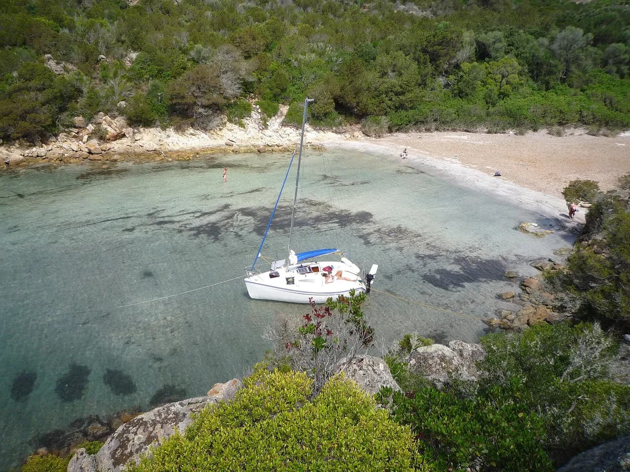
Anchorage on the north coast of Corsica, on the western shore of the Désert des Agriates, between Île Rousse and Saint-Florent.
- Beach
Guide
Approach and anchoring
Sand bottom. Anchor in the eastern part of the bay where the sand lies, and keep clear of rocks carrying only 2 to 3 metres in the middle of the bay, which are not shown on the chart. Shelter from NE through E and from SW through SE, exposed to the dominant libeccio from the west and to swell from the north. In a westerly blow, run to Île Rousse 8.5 NM to the SW or to Saint-Florent 9.1 NM to the east.
Ashore
Landing by tender on the beach. The shore is part of the Conservatoire du Littoral land of the Agriates, a non-inhabited coastal strip of maquis and granite. Sentier du Littoral runs east towards the beaches of Saleccia and Lotu.
Story
The Désert des Agriates covers about 15,000 hectares of protected shoreline with no road access to most of its beaches, reachable only by boat or on foot.
Key facts
- Type
- Anchorage
- Coordinates
- 42.71641, 9.09792 (42°42.98'N 9°5.88'E)
- Country
- France
- Shelter
- Sheltered from north-east, east, south-west, south, south-east winds
- Seabed
- sand
- Anchoring
- Allowed
- Services
- Beach
- Boaters' rating
- 3.6/5
- Last updated
- October 15, 2026
Getting there
Pinta du Dalfinu lies at 42°42.98'N 9°5.88'E, that is 42.71641, 9.09792 in decimal degrees.
Boaters' reviews
No reviews yet. Be the first to share your experience of Pinta du Dalfinu.
Write a reviewFrequently asked questions
Which winds is Pinta du Dalfinu sheltered from?
Pinta du Dalfinu is sheltered from north-east, east, south-west, south, south-east winds.
Can you anchor at Pinta du Dalfinu?
Yes, anchoring is allowed at Pinta du Dalfinu.
How do boaters rate Pinta du Dalfinu?
Pinta du Dalfinu is rated 3.6/5 by boaters on BoatMap.


Explore the region
- France
- Corsica
- Opal Coast and Bay of Somme
- North Brittany
- South Brittany
- Normandy
- Atlantic coast
- Languedoc-Roussillon
- Provence and Côte d'Azur
- French West Indies
- Seine and Paris
- Burgundy and the Saône
- Canal du Midi
- Alsace and Lorraine
- Lake Geneva, French shore
- Lakes Annecy and Bourget
Nearby cities
L'app de navigation bateau, gratuite
Cartes marines officielles, météo marine, GPS et 50 000+ ports et mouillages avec avis. Tout en une seule app, prête à embarquer.



