
- Shelter
- NW, N, NE
- Seabed
- sand
- Anchoring
- Allowed
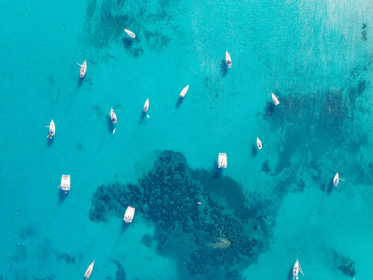
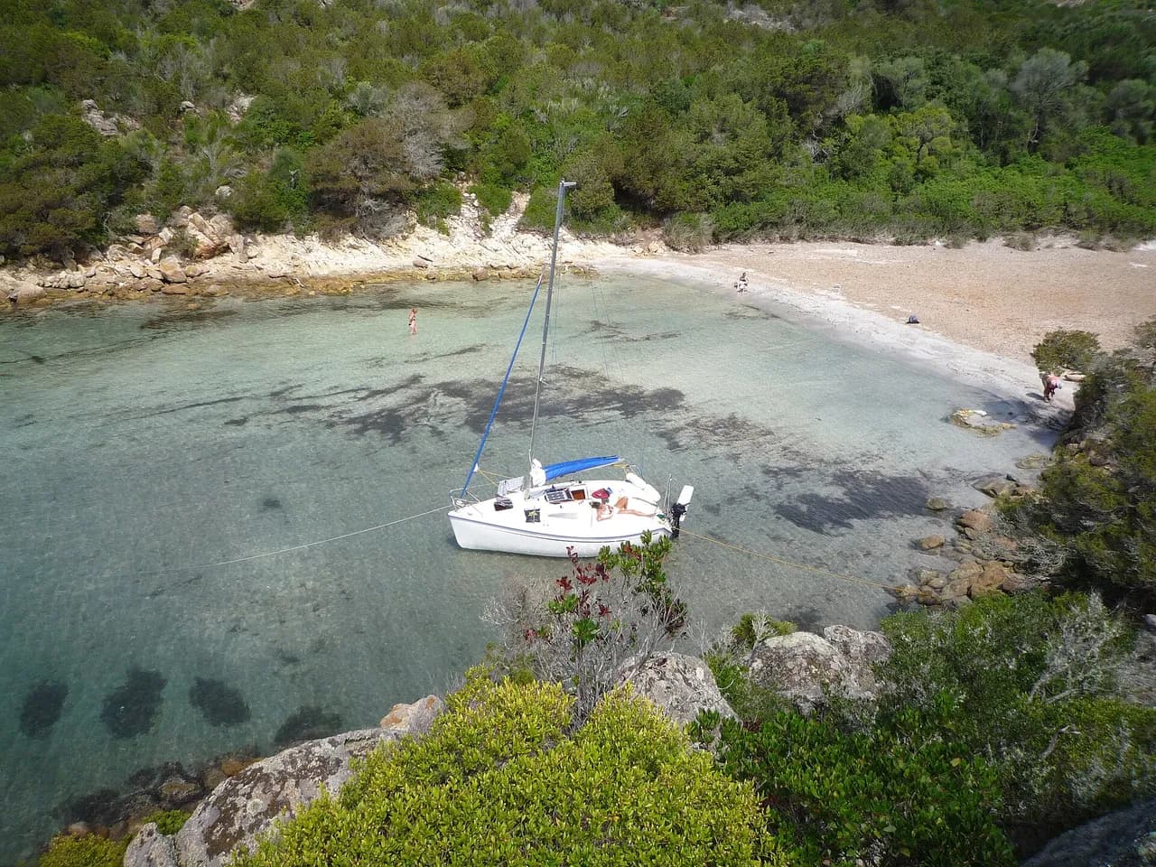
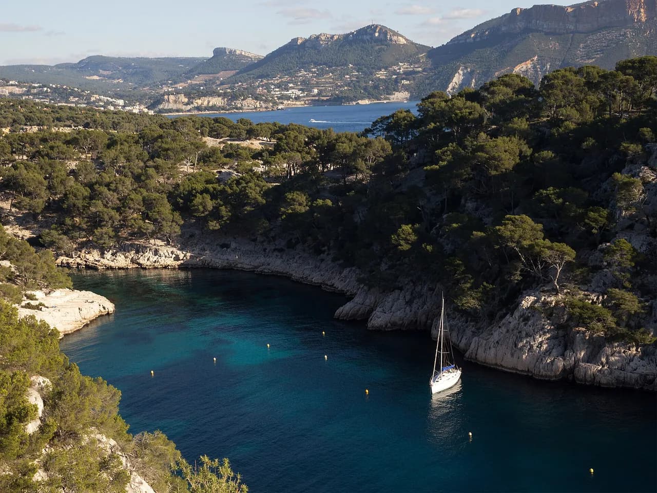
Sand-bottom anchorage on the east side of Cassis bay, between the port and Cap Canaille, in the Calanques National Park.
Guide
Approach and anchoring
Approach from the south under the Cap Canaille cliffs, the highest sea cliffs in France at 394 m. Anchor on sand in 5 to 10 m, dropping clear of the rocky slabs that rise near the shore from about 3 m, where an orin helps recovery. Yellow buoys mark a no-anchor zone that is patrolled, and anchoring outside them is limited to 24 hours. Good shelter from N, NW and NE, fully exposed to the SE swell that builds with the marin, with a low southerly send even in calm weather.
Ashore
Cassis port lies 0.5 NM NW with all shops and the morning market on Place Baragnon, and a laundry and food shop are within a five minute walk. A snack bar sits on the beach. Land by tender on the small beach at the head of the bay. A wastewater outfall discharges nearby, so the water is not always clean for swimming. The GR 98 coastal path climbs from the bay towards the Route des Crêtes and the Cap Canaille viewpoint.
Key facts
- Type
- Anchorage
- Coordinates
- 43.20823, 5.54292 (43°12.49'N 5°32.58'E)
- Country
- France
- Shelter
- Sheltered from north-west, north, north-east winds
- Seabed
- sand
- Anchoring
- Allowed
- Boaters' rating
- 3.6/5
- Last updated
- October 15, 2026
Getting there
Lombardes lies at 43°12.49'N 5°32.58'E, that is 43.20823, 5.54292 in decimal degrees.
Boaters' reviews
No reviews yet. Be the first to share your experience of Lombardes.
Write a reviewFrequently asked questions
Which winds is Lombardes sheltered from?
Lombardes is sheltered from north-west, north, north-east winds.
Can you anchor at Lombardes?
Yes, anchoring is allowed at Lombardes.
How do boaters rate Lombardes?
Lombardes is rated 3.6/5 by boaters on BoatMap.

Explore the region
- France
- Provence and Côte d'Azur
- Marseille and the Calanques
- Camargue and Gulf of Fos
- Var
- Riviera · Alpes-Maritimes
Nearby cities
The free boat navigation app
Official nautical charts, marine weather, GPS and 50,000+ marinas and anchorages with reviews. All in one app, ready to sail.



