
- Shelter
- NE, E, SE
- Seabed
- sand, rock
- Anchoring
- Allowed
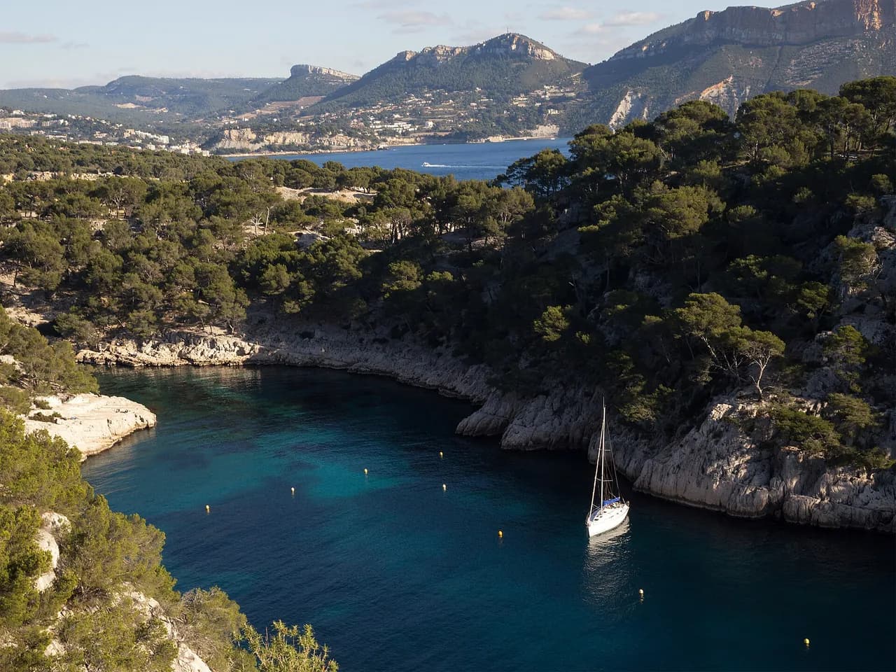
Anchorage on the Calanques coast between Cassis and the calanque de Port-Miou, inside the Parc national des Calanques, in Provence.
Guide
Approach and anchoring
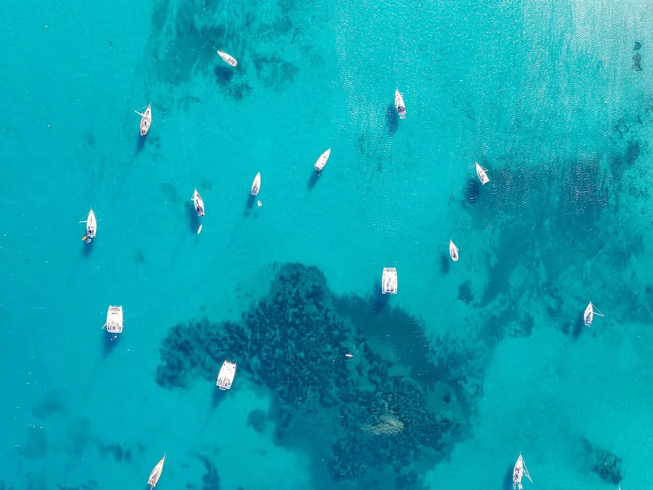
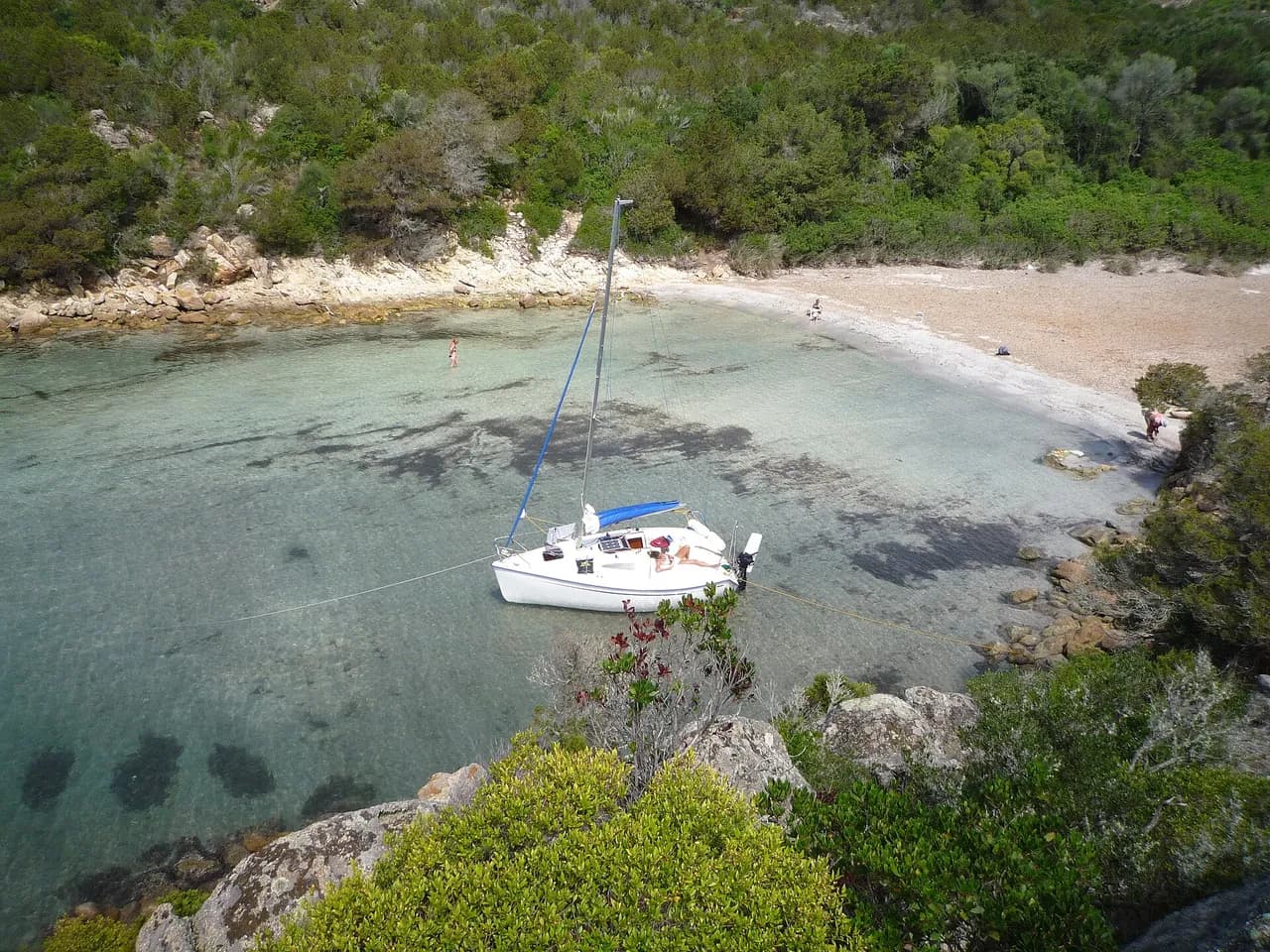
Approach from seaward along the cliff face, mixed sand and rock bottom. Pick a sandy patch for good holding. Shelter from NE, E and SE. Open to W and SW, evacuate to Cassis 1.1 nm NW or Port-Miou 1.4 nm NW in a mistral or westerly blow. Anchoring regulated inside the Parc national des Calanques, check the current ZMEL and seasonal restrictions before dropping.
Ashore
Sentier du GR 98-51 runs along the clifftop between Cassis and the calanques, with access to the calanque de Port-Miou at 1.4 nm NW. Cassis village, 170-berth harbour, shops and Tuesday and Friday market at place Baragnon, is 1.1 nm NW.
Key facts
- Type
- Anchorage
- Coordinates
- 43.19811, 5.54784 (43°11.89'N 5°32.87'E)
- Country
- France
- Shelter
- Sheltered from north-east, east, south-east winds
- Seabed
- sand, rock
- Anchoring
- Allowed
- Boaters' rating
- 2.4/5
- Last updated
- July 7, 2026
Getting there
Cap Canaille lies at 43°11.89'N 5°32.87'E, that is 43.19811, 5.54784 in decimal degrees.
Boaters' reviews
No reviews yet. Be the first to share your experience of Cap Canaille.
Write a reviewFrequently asked questions
Which winds is Cap Canaille sheltered from?
Cap Canaille is sheltered from north-east, east, south-east winds.
Can you anchor at Cap Canaille?
Yes, anchoring is allowed at Cap Canaille.
How do boaters rate Cap Canaille?
Cap Canaille is rated 2.4/5 by boaters on BoatMap.


Explore the region
- France
- Provence and Côte d'Azur
- Marseille and the Calanques
- Camargue and Gulf of Fos
- Var
- Riviera · Alpes-Maritimes
Nearby cities
L'app de navigation bateau, gratuite
Cartes marines officielles, météo marine, GPS et 50 000+ ports et mouillages avec avis. Tout en une seule app, prête à embarquer.



