
- Shelter
- NE, W, E, SW, S, SE
- Seabed
- sand
- Anchoring
- Allowed
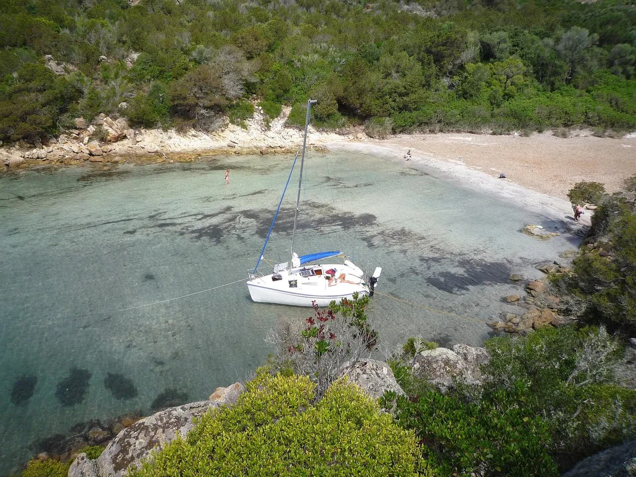
Sand-bottom anchorage off Dinard on the west bank of the Rance estuary, facing Saint-Malo.
- Mooring buoys
Guide
Approach and anchoring
Approach from the Rade de Saint-Malo leaving the Pointe du Moulinet to the west. Strong tidal streams run in the estuary, up to 3 knots on springs. Open to the north and northwest, so swell builds quickly when wind shifts to that sector. Holding is good on sand.
Ashore
Dinard town centre and the Plage de l'Ecluse are 800 m west by tender or on foot along the Promenade du Clair de Lune. Saint-Malo intra-muros lies 0.8 nm north across the estuary, reached by the Bus de Mer shuttle from Dinard pier.
Key facts
- Type
- Anchorage
- Coordinates
- 48.62724, -2.03100 (48°37.63'N 2°1.86'W)
- Country
- France
- Shelter
- Sheltered from north-east, west, east, south-west, south, south-east winds
- Seabed
- sand
- Anchoring
- Allowed
- Services
- Mooring buoys
- Boaters' rating
- 1.1/5
- Last updated
- July 7, 2026
Getting there
Dinard Pointe de la Jument lies at 48°37.63'N 2°1.86'W, that is 48.62724, -2.03100 in decimal degrees.
Boaters' reviews
No reviews yet. Be the first to share your experience of Dinard Pointe de la Jument.
Write a reviewFrequently asked questions
Which winds is Dinard Pointe de la Jument sheltered from?
Dinard Pointe de la Jument is sheltered from north-east, west, east, south-west, south, south-east winds.
Can you anchor at Dinard Pointe de la Jument?
Yes, anchoring is allowed at Dinard Pointe de la Jument.
How do boaters rate Dinard Pointe de la Jument?
Dinard Pointe de la Jument is rated 1.1/5 by boaters on BoatMap.




Explore the region
Nearby cities
L'app de navigation bateau, gratuite
Cartes marines officielles, météo marine, GPS et 50 000+ ports et mouillages avec avis. Tout en une seule app, prête à embarquer.



